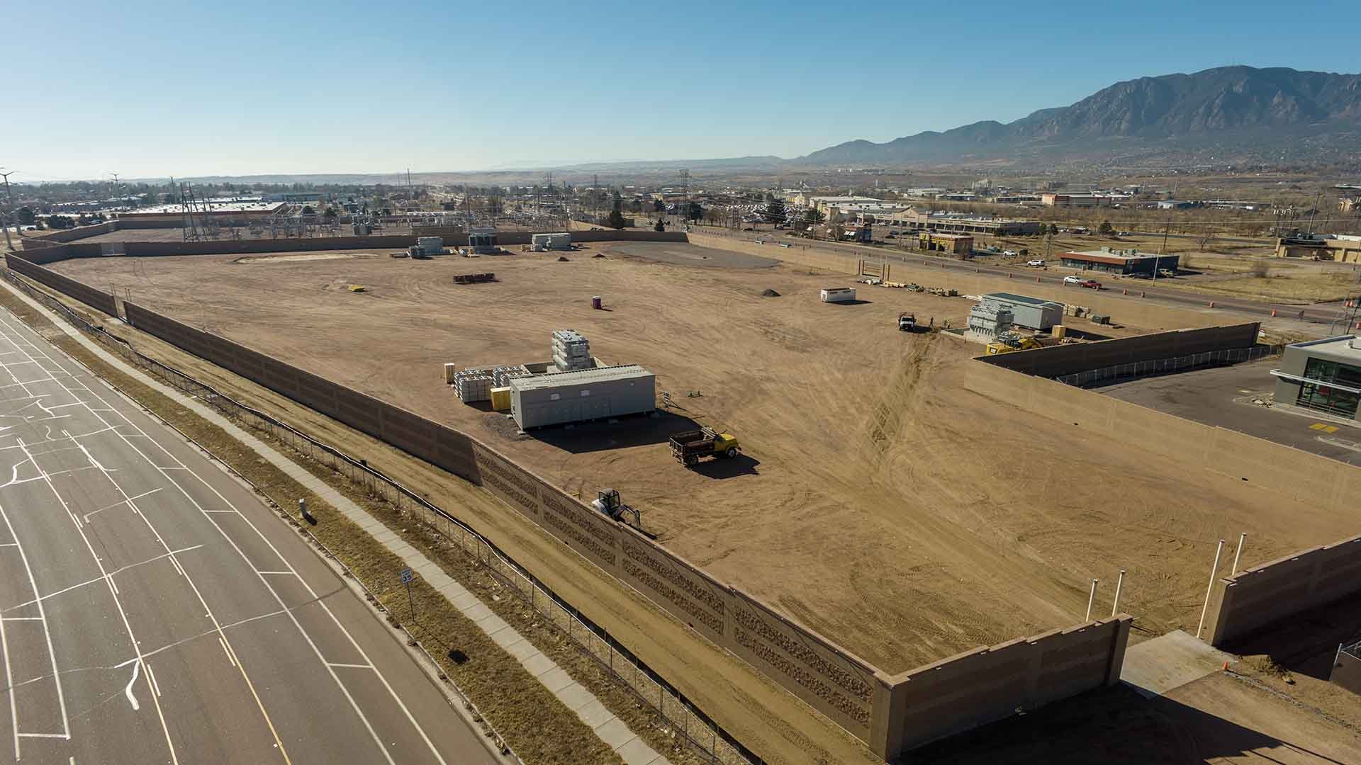
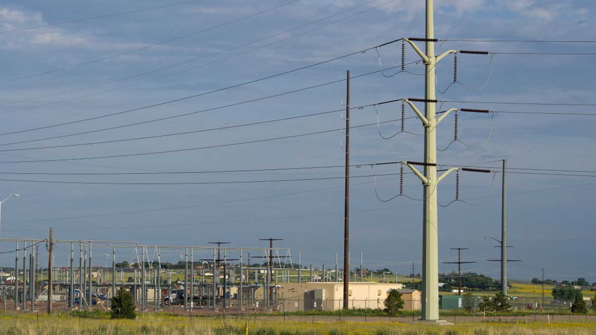
The Kelker Substation Expansion almost doubles the substation's size to meet growing energy demands in southeast Colorado Springs.
The Kelker Substation Expansion almost doubles the substation's size to meet growing...
The Kelker Substation Expansion almost doubles the substation's size to meet growing energy demands in southeast Colorado Springs.
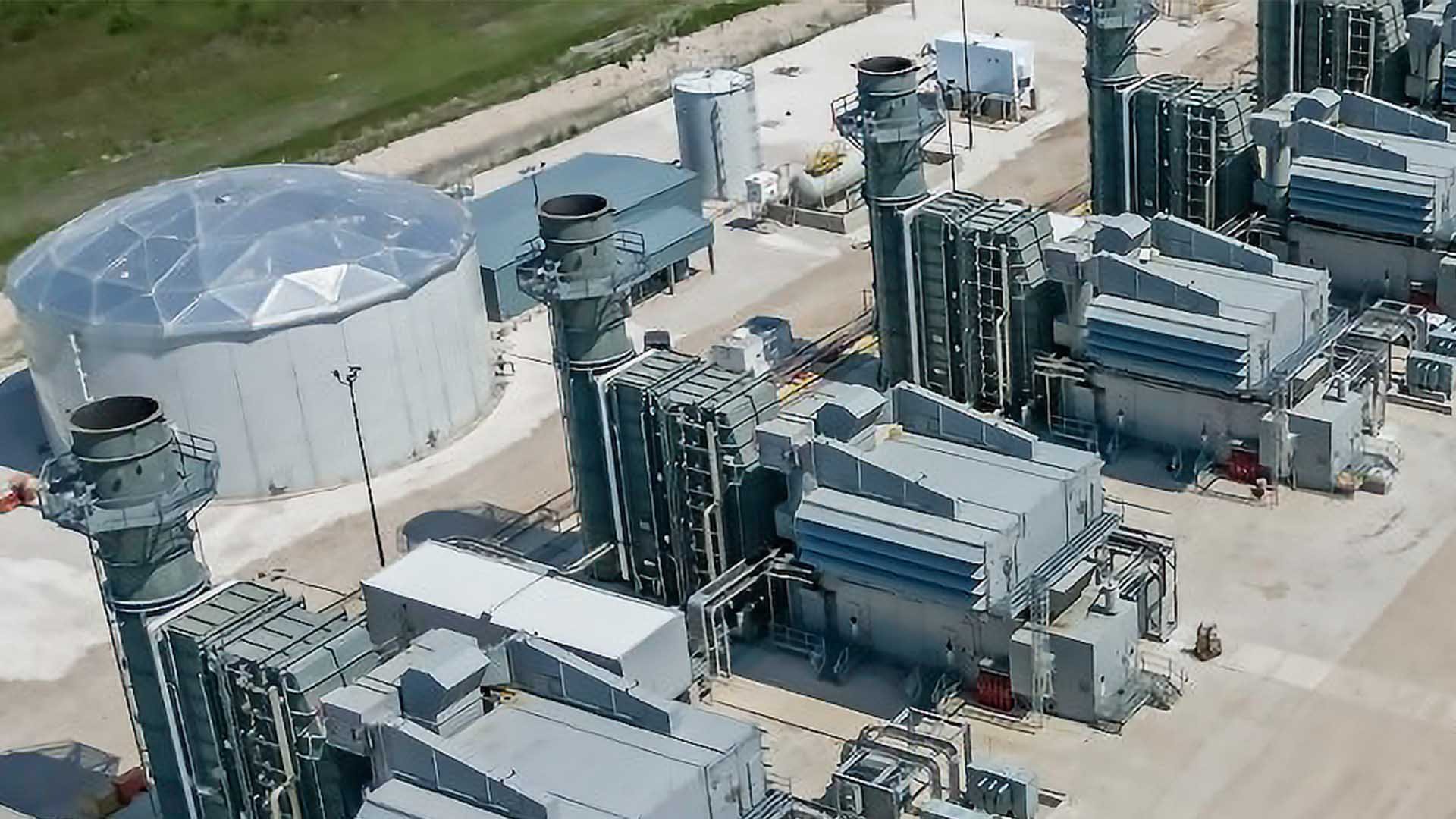
We're planning to build new natural gas-based electric generation and battery energy system storage to provide reliable, cleaner and cost-effective energy for the future.
We're planning to build new natural gas-based electric generation and battery energy...
We're planning to build new natural gas-based electric generation and battery energy system storage to provide reliable, cleaner and cost-effective energy for the future.
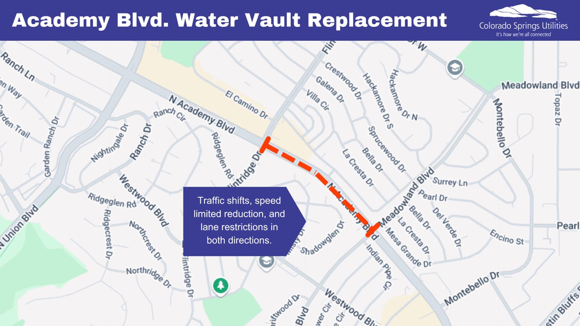
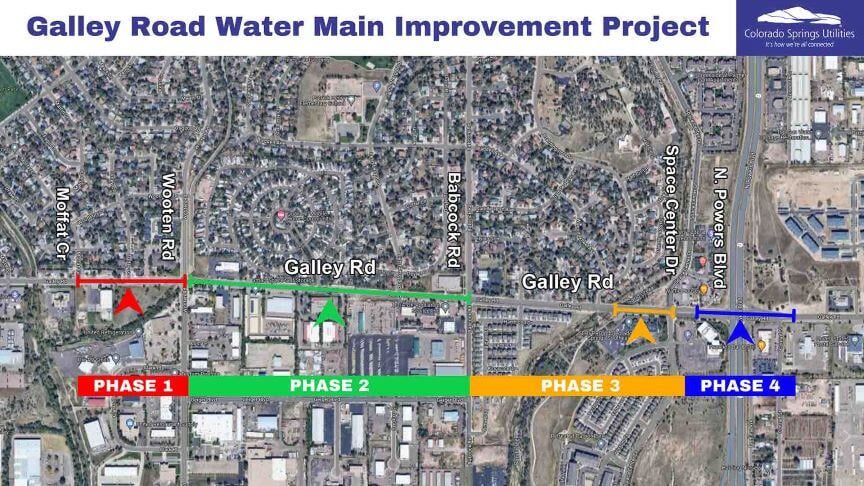
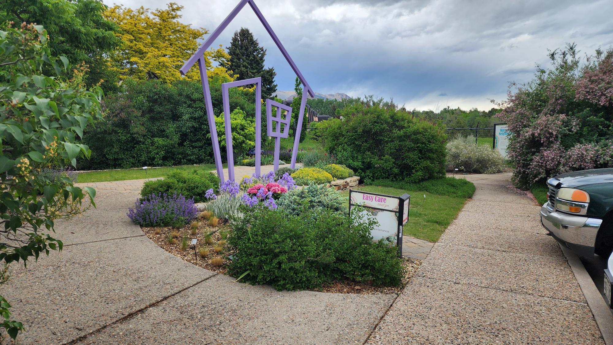
N. Academy Boulevard water vault replacement project
We are working on the final phase of this project, to replace a water vault beneath Academy Blvd.
We are working on the final phase of this project, to replace a water vault beneath...
We are working on the final phase of this project, to replace a water vault beneath Academy Blvd.
We will be installing more than 18,000 feet of water main along Marksheffel Road. between Peterson Space Force Base’s East Gate and Drennan Road.
We will be installing more than 18,000 feet of water main along Marksheffel Road. between...
We will be installing more than 18,000 feet of water main along Marksheffel Road. between Peterson Space Force Base’s East Gate and Drennan Road.
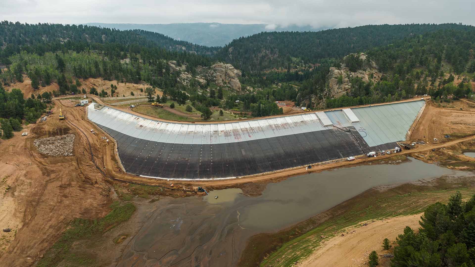
We are resurfacing the steel face of the South Catamount Reservoir dam to improve its safety and performance.
We are resurfacing the steel face of the South Catamount Reservoir dam to improve its...
We are resurfacing the steel face of the South Catamount Reservoir dam to improve its safety and performance.
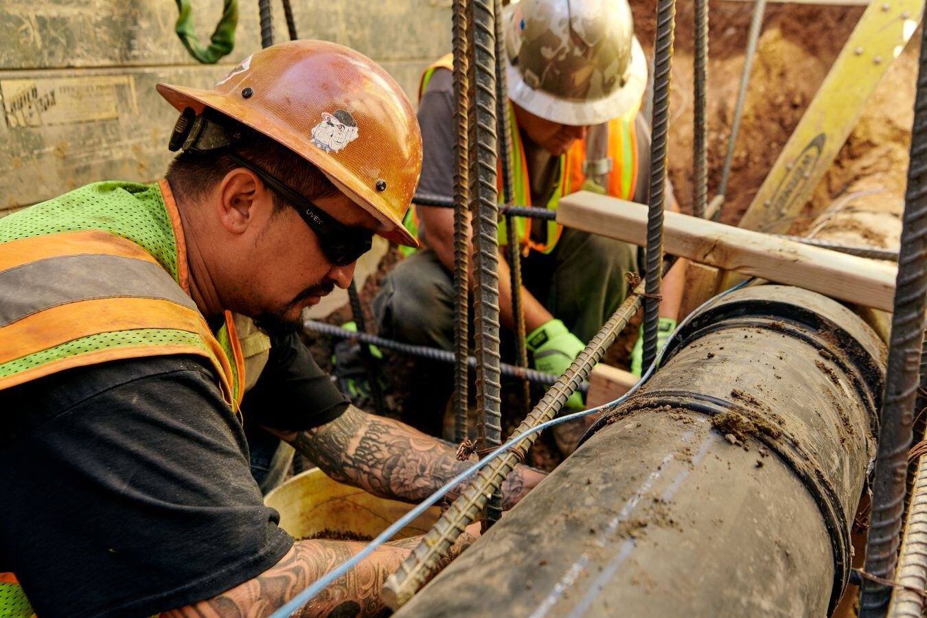
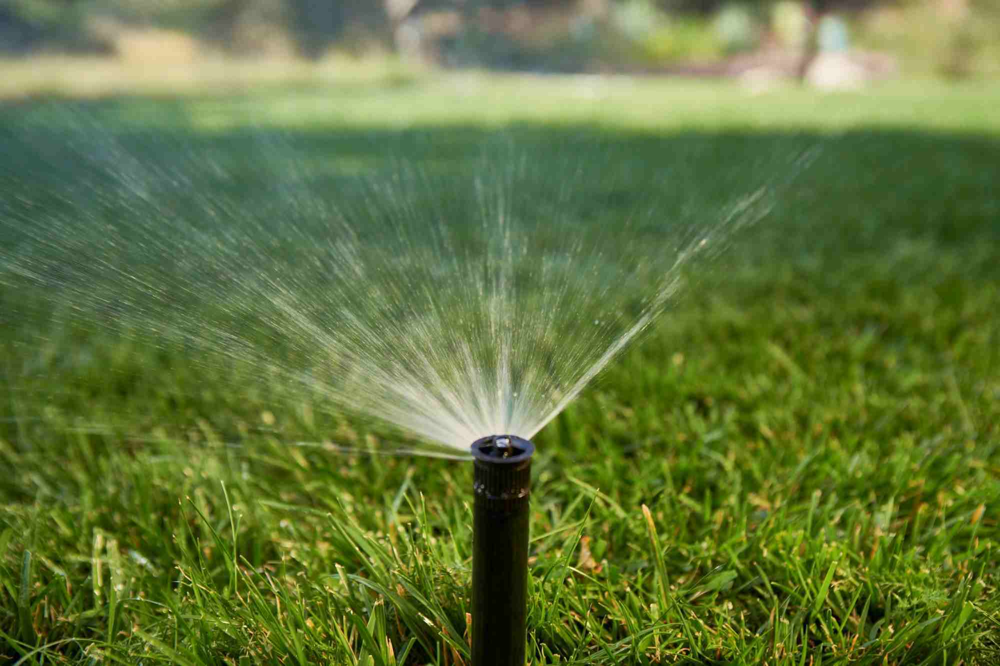
We are installing more than 4,400 ft. of water main to improve water quality and enhance reliability in that area.
We are installing more than 4,400 ft. of water main to improve water quality and enhance...
We are installing more than 4,400 ft. of water main to improve water quality and enhance reliability in that area.
The Kelker Substation Expansion almost doubles the substation's size to meet growing energy demands in southeast Colorado Springs.
The Kelker Substation Expansion almost doubles the substation's size to meet growing...
The Kelker Substation Expansion almost doubles the substation's size to meet growing energy demands in southeast Colorado Springs.
We're planning to build new natural gas-based electric generation and battery energy system storage to provide reliable, cleaner and cost-effective energy for the future.
We're planning to build new natural gas-based electric generation and battery energy...
We're planning to build new natural gas-based electric generation and battery energy system storage to provide reliable, cleaner and cost-effective energy for the future.