A hallmark of Colorado Springs living is the New Year’s Eve fireworks show from the top of Pikes Peak. This feat is accomplished each year by a sturdy group known as the AdAmAn Club, whose members hike to the top of the peak in windy, snowy conditions to facilitate the display and help usher in the new year for our community.
To commemorate the club’s 100th anniversary in 2022, a placemaking partnership was struck between the club and the city’s Downtown Partnership to revitalize an alleyway between Nevada Avenue and Tejon Street and to Colorado Avenue (T-shaped) using public art to tell the historic story. We agreed to provide infrastructure upgrades for the project.
Construction and repair challenges are common across our service territory. No two situations are exactly alike, and creative solutions are often needed. The AdAmAn Alley project presented just such a challenge. Located to the north of Pikes Peak Avenue, the alley was known to be ripe with underground utility infrastructure, some of it abandoned and older than the club itself.
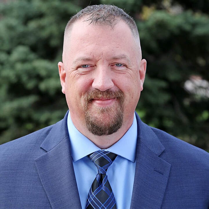
“Safety was the primary concern,” says Water Design Engineer Natalie Crock. “We knew the alley had lots of infrastructure, but we weren’t sure how it all laid in there.”
The team also needed to determine what size water main they would be tying into so supplies could be ordered in advance. The situation called for careful surveying and the use of LiDAR 3D scanning technology to help create a fuller picture of what lay underground.
“This survey tool has changed the way we do business,” says Gary Rust, Asset Management land surveyor. “We support folks from all our divisions for infrastructure, additions to electric substations, easements, and more.
“LiDAR is spatial data captured with a laser. It shoots out a wavelength of light on a frequency and the light bounces off reflective surfaces and sends back a data point. It can send a million pulses a second out to as far as 1,000 feet. It’s like an EDM (electronic distance measurement) on steroids - we can measure distances with great accuracy.”
The constrained space of the alley presented a challenge, however. With buildings on either side, it wasn’t like surveying across a street. Slot trenching was the answer.
“The first step was to use locaters to map everything above ground,” says Gary. “Then 30 slot trenches were dug across the alley, avoiding our electric lines, until they could see the water lines. We then used LiDAR to move across the alley and capture images.”
“It was the first time we’d dropped the scanner into a slot trench to take a look,” adds Natalie.
“We basically filled in the blanks from trench to trench,” Gary explains. “Different scans were merged to make a more complete scene. The results are very accurate – within 2 millimeters.”
LiDAR measurements can be used to fabricate a coupler or pipe needed for a tie-in or repair. The images from AdAmAn Alley were finished by constructing colored geometric shapes in the “holes” identified by the LiDAR: gray for stormwater pipes, green for wastewater, orange for telecom, red for electric duct banks and blue for water mains.
“We discovered a complicated underground maze of abandoned utilities and unknown infrastructure in the alley,” Gary says.
With an accurate design, our construction crews, working with Pate Construction, could safely excavate and complete the upgrades, which included:
- 475 feet of new water main to increase flow and pressure that replaces a heavily corroded cast iron pipe installed in 1911.
- Rehabilitation of 500 feet of clay wastewater pipe installed in 1888.
- 700 feet of new plastic gas main, including a new two-way feed to reduce the probability of outages in the area.
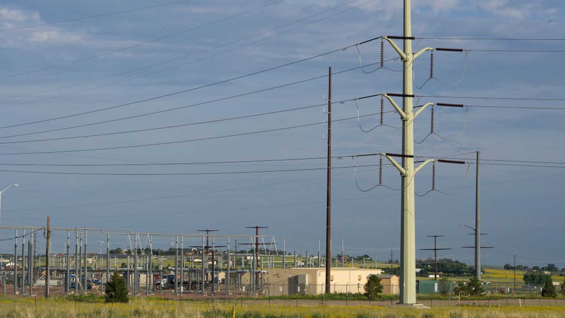
- Three new electric circuits and 5,400 feet of new electric cable.
- 225 feet of telecommunications conduit and three fiber optic vaults.
- Service lines and risers upgraded to current standards.
A grand opening of the alley was held Dec. 28. Some of the electronic art installations are still being completed through the Downtown Partnership but will soon light up the alley at night.
Partnering with others in our community to enhance service and reliability is part of what makes our jobs meaningful. Sometimes those opportunities require us to find creative solutions to challenging situations.
“We were early adopters of LiDAR,” says Gary, noting its use at Springs Utilities for about a dozen years, “but the technology has gotten faster, lighter and less expensive and it’s now more commonly used in utilities work."
“I love the technology and advancements it provides,” he continues. “I grew up in Colorado and my dad was a surveyor, so my brother and I got to help him. I’ve seen the technology advance to the point that a one-man crew can do what used to take five people.”